MAPS
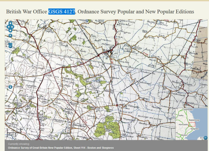
British War Office 1945 GSGS 4127
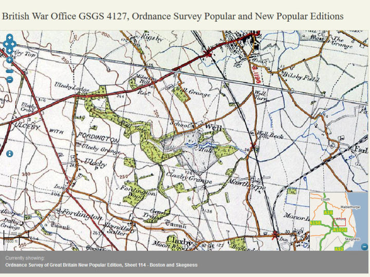
British War Office 1945 enlarged section
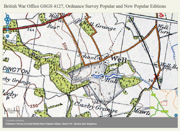
British War Office 1945 showing school and railway crossing.
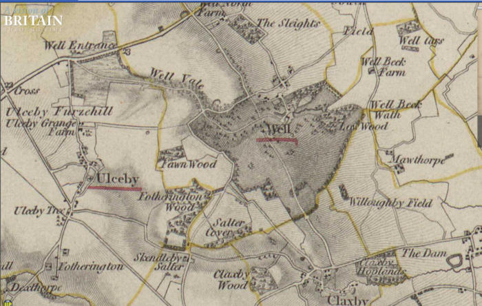
OS Unions 1803
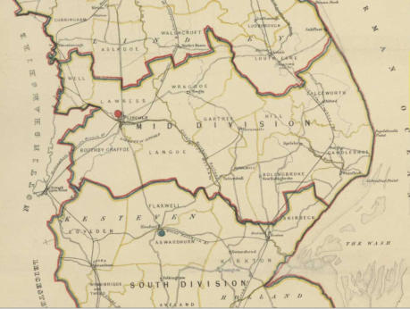
Boundary Commission 1832
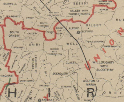
Boundary Commission 1868
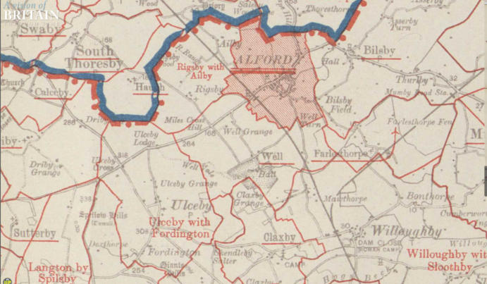
Sanitary Districts 1888
OS County Divisions 1922-1928 showing Roman Camp nr Willoughby
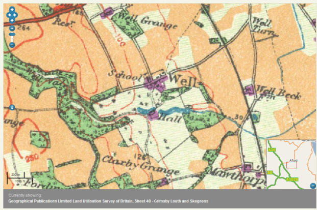
Land Utilisation Report of 1942 showing School and other buildings
Maps list above are from Visions of Britain
Click here to continue to more maps